Cape Hauy
Cape Hauy
Coastal hike of 9.4 km on the Tasman Peninsula, Tasmania. Dolerite cliffs, forest and marine wildlife, 1.5 hours from Hobart.
Cape Hauy sits at the tip of the Tasman Peninsula in Tasmania. This coastal hike of 9.4 km return connects Fortescue Bay to a vertiginous headland where dolerite columns plunge directly into the Tasman Sea. With an elevation gain of 466 m and an average duration of 4 hours, it ranks among the most popular trails in Tasman National Park, accessible from Hobart in roughly 1.5 hours by car.
Why visit Cape Hauy
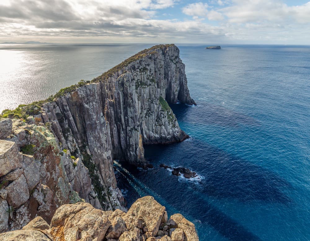
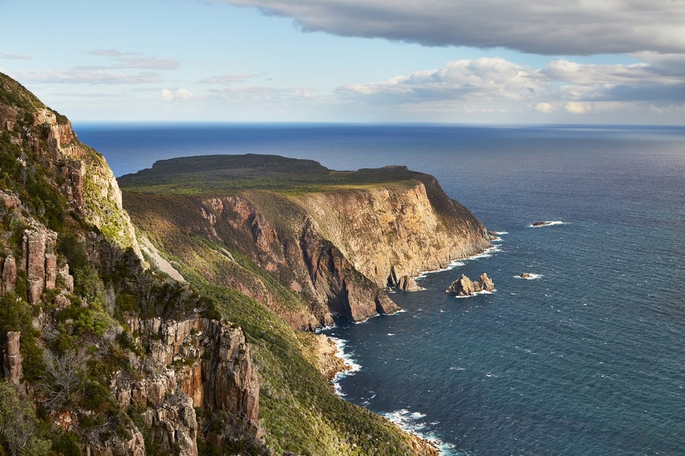
The trail offers a rare combination in Tasmania: a passage through dense forest followed by an emergence onto dolerite cliffs among the tallest in Australie. The vertical columns rising from the ocean, including the famous Totem Pole formation favoured by climbers, are visible from the final viewpoint.
The trail is part of the Tasman Peninsula network, which also includes Cape Raoul and the Three Capes Track. Cape Hauy remains the most accessible day option for discovering this coastal relief.
What you'll see on the trail
The landscape
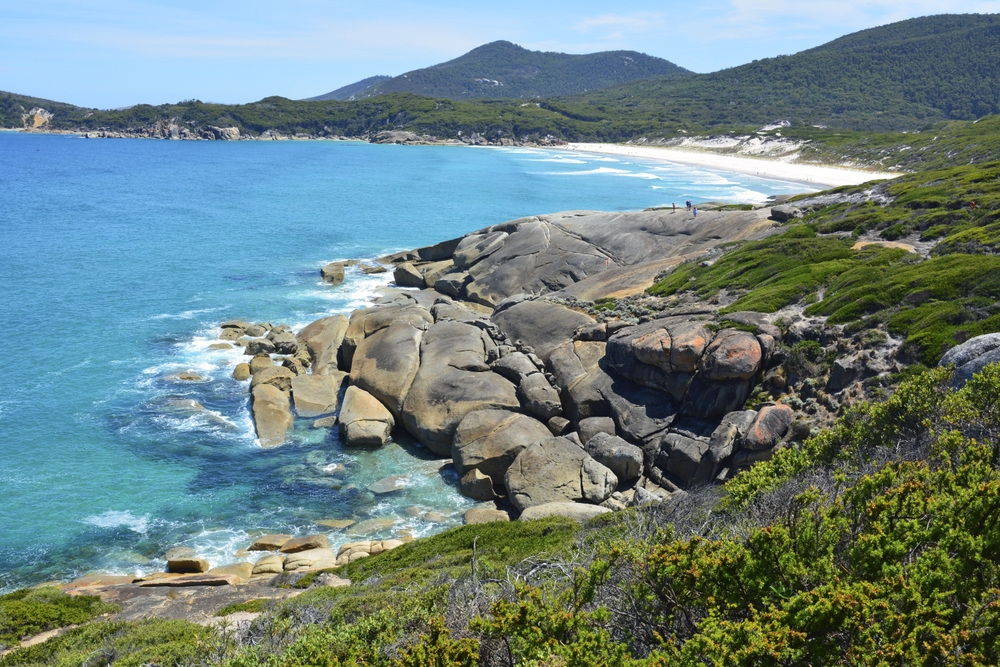
The route first traverses eucalyptus forest then heathland carpeted with wildflowers in spring. A long steep stone staircase descends toward a saddle, followed by a climb toward the cape. The final viewpoint overlooks the dolerite columns and open sea on two sides.
Wildlife
The cliffs shelter seabirds and white-bellied sea eagles that soar above the updrafts. From June to October, humpback whales and southern right whales occasionally pass offshore during migration. Binoculars are useful from the viewpoint.
Camping at Fortescue Bay
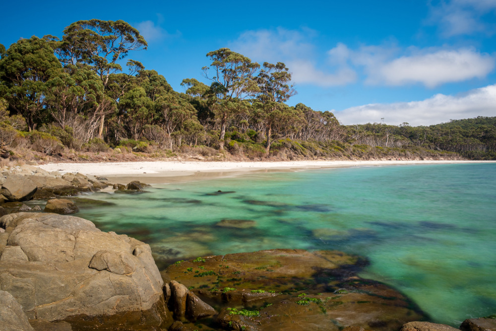
Fortescue Bay campground, located at the trailhead, has picnic areas, toilets and barbecues. It's a convenient base for combining Cape Hauy with other peninsula trails over two days.
Practical information
- Distance: 9.4 km return
- Duration: approximately 4 hours of hiking
- Elevation gain: 466 m cumulative
- Difficulty: rated level 3 by Tasmania Parks. The trail features several steep stair sections, particularly in the descent toward the saddle and the ascent to the cape.
- Infrastructure: metal bridges over streams, orange markers throughout the trail
- Access pass: a Tasmania Parks Pass (equivalent to national park entry) is required for parking and trail access. It can be purchased online or at visitor centres.
- What to bring: hiking boots, water (no drinking water on the trail), windbreaker, snacks, binoculars
When to go
The trail is open year-round. Southern spring (October-November) showcases wildflowers on the heathland, while summer (December-February) offers the most stable conditions with long daylight hours. Autumn remains pleasant and less crowded.
In winter (June-August), the trail can be slippery and windswept on exposed sections. Check the forecast before departing: the peninsula is exposed to Southern Ocean fronts and weather can change in a matter of hours.
How to get there
Cape Hauy is reached in approximately 1.5 hours of driving southeast of Hobart. Take the Tasman Highway toward Port Arthur, then follow signs for Joiners Link and Coronation Road to the Fortescue Bay parking area. The last 12 kilometres are on an unsealed track, passable in a standard vehicle in dry conditions.
The trailhead is located northeast of the parking area, marked by a sign and the first orange markers.
Nearby attractions
- Cape Raoul: another peninsula hike on dolerite cliffs facing west, approximately one hour's drive from Fortescue Bay. See our guide Cape Raoul.
- Port Arthur: former penal settlement listed as a UNESCO World Heritage site, 30 minutes from the parking area
- Three Capes Track: multi-day trek that includes Cape Hauy in its route
- Tasman National Park: sea arches, Devil's Kitchen and Tasman Arch accessible by car
- Hobart: logistics hub for exploring Tasmania, discover more on our page Hobart
Frequently asked questions
Frequently asked questions
Plan your Tasmania trip
Cape Hauy fits naturally into a Tasmania itinerary combining the Tasman Peninsula, Hobart and the mountainous hinterland. To build a custom stay including this hike and other park sites, check out our Australie trips.

Interested in this visit?
We can include it in your personalised itinerary.