Wilsons Promontory National Park
Wilsons Promontory National Park
At the southernmost point of mainland Australia, Wilsons Promontory brings together pink granite beaches, tree fern forests and endemic wildlife. A Victoria national park just two and a half hours from Melbourne.
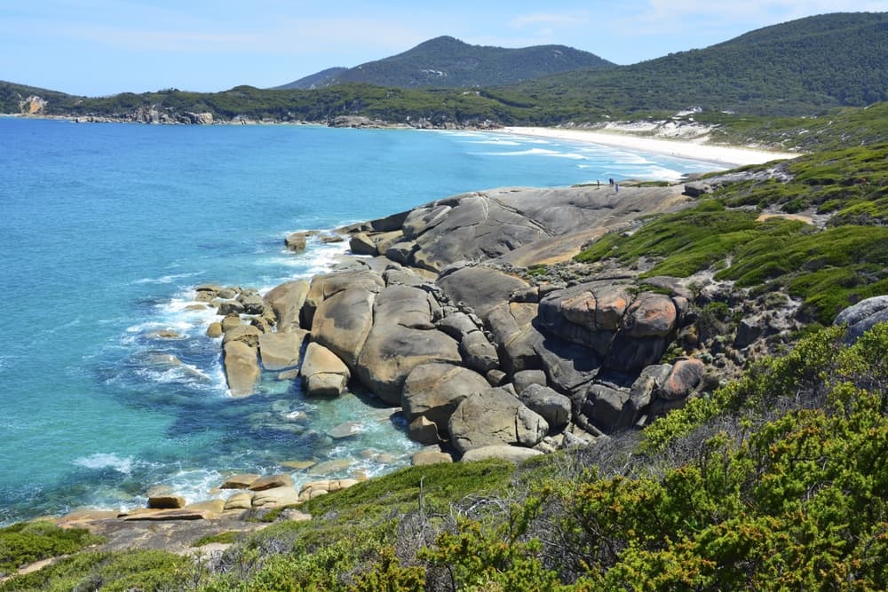
Wilsons Promontory occupies the southernmost tip of mainland Australia, in Victoria. This national park covering more than 50,000 hectares blends dense forests, pink granite beaches and wind-swept coastal heathland. It's one of the few places where you can spot wombats, wallabies and emus within metres, without leaving marked trails. The peninsula extends into Bass Strait, offering panoramic views of the Glennie Islands and the turquoise waters of the South Pacific.
Quick practical guide
- Entrance: paid entry — vehicle entry fee (Parks Victoria; rates to check on the official website).
- Access: by car from Melbourne via the South Gippsland Highway, approximately 2 hours 30 minutes' drive. No direct public transport to the park.
- Recommended duration: 2 to 4 days to combine hiking and beaches; one day is enough for short trails around Tidal River.
- Camping reservation: mandatory in peak season (Australian summer, December–January) via Parks Victoria online.
- Pets: prohibited in the park.
- Accessibility: the Tidal River area has some facilities for visitors with disabilities; most trails remain difficult to access by wheelchair.
What to see
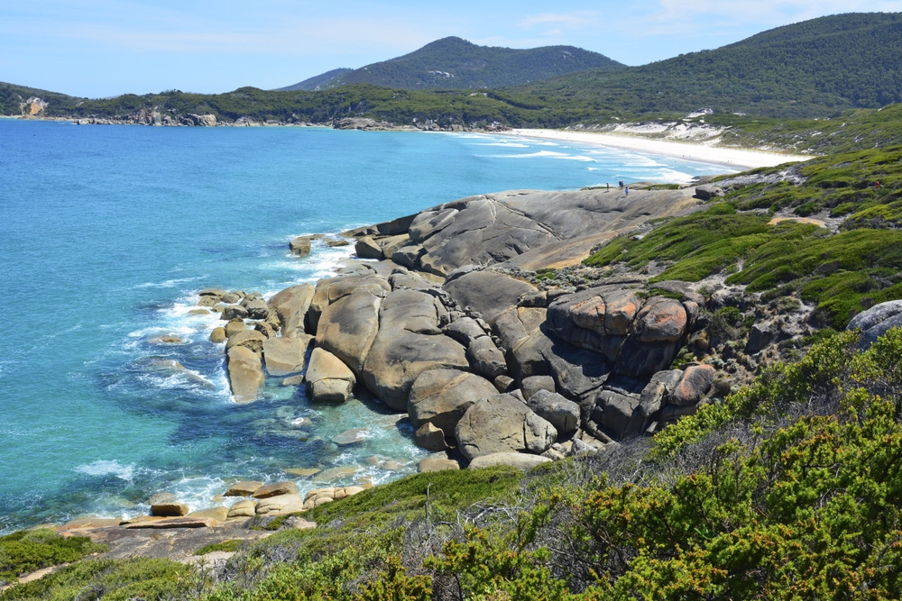
The park divides into several distinct zones. The beaches of Squeaky Beach and Whisky Bay are lined with rounded granite rocks and sand that "squeaks" underfoot. Eucalyptus forest and tree ferns cover the peninsula's interior. The Wilsons Promontory Lighthouse, built in 1859, stands at the southern tip after a hike of several hours.
History and context
The Boonwurrung and Gunaikurnai peoples frequented the peninsula for thousands of years. Europeans charted it in the late 18th century; the national park was established in 1898, one of Victoria's earliest. During the Second World War, the area served as a military training ground, which paradoxically preserved its vegetation from agricultural clearing.
Highlights of the visit
Squeaky Beach
Pure quartz sand produces a distinctive sound underfoot. The beach is protected by pink granite rocks that form natural coves. Swimming is generally calm, sheltered from the prevailing wind.
Lighthouse hike
The return trail to Wilsons Promontory Lighthouse spans approximately 19 km from Tidal River. The path crosses coastal heathland and offers sweeping views over Bass Strait. The lighthouse itself is heritage-listed; accommodation is available through Parks Victoria.
Lilly Pilly Gully
This short forest loop (around 5 km) winds beneath a canopy of eucalyptus and tree ferns. It's one of the park's best spots for spotting wombats in late afternoon.
Mount Oberon
The ascent to the summit of Mount Oberon (558 m) offers the park's widest panorama: islands, bays and forest as far as the eye can see. The trail departs from Mount Oberon col, accessible by shuttle from Tidal River in peak season.
Photography tips
Golden light at sunrise on Squeaky Beach is optimal between May and August, when skies are often clear after cold fronts. For the lighthouse, favour blue hour from the heights of the coastal trail. Wombats and wallabies are active at dawn and dusk around Tidal River — maintain distance and avoid flash photography. No particular photography restrictions in the park, except in marked nesting areas.
Location and access
The park lies approximately 230 km south-east of Melbourne. The main road passes through Foster, the last town with petrol stations and supermarkets before the park entrance. Tidal River, the park's hub, houses the main campground, a visitor centre and cabin accommodation. In peak season, a shuttle connects the Mount Oberon col car park to Tidal River to limit traffic.
Nearby attractions
- Great Ocean Road — Victoria's other major coastal route, west of Melbourne, featuring the Twelve Apostles.
- Phillip Island — famous for the daily parade of little penguins at sunset, approximately 2 hours' drive north-west.
- Lakes Entrance — gateway to the Gippsland Lakes lagoon system to the east, ideal for boating and fishing.
Frequently asked questions
Australian spring (September–November) and autumn (March–May) offer pleasant temperatures and fewer crowds. Summer (December–January) is very busy; camping must be booked months in advance. Winter is windy but ideal for hiking without crowds.
During Australian summer and Victorian school holidays, yes — several months ahead via the Parks Victoria website. Off-season, booking is still recommended but availability is wider.
Yes, both sites are in the same Victoria region. Allow at least 4 to 5 days to experience both unhurried, travelling via the South Gippsland Highway.
Photography is free throughout almost the entire park. Certain bird nesting zones are marked; respect the signage and do not approach nests.
Wombats are very common around Tidal River, especially at dawn and dusk. Stay on trails, do not feed them and keep your distance — they can bite if approached too closely.
Parks Victoria occasionally organises guided nature walks, particularly in peak season. Private operators from Melbourne offer day trips or multi-day excursions; check current offerings with the Foster visitor centre or Parks Victoria.
Interested in this visit?
We can include it in your personalised itinerary.